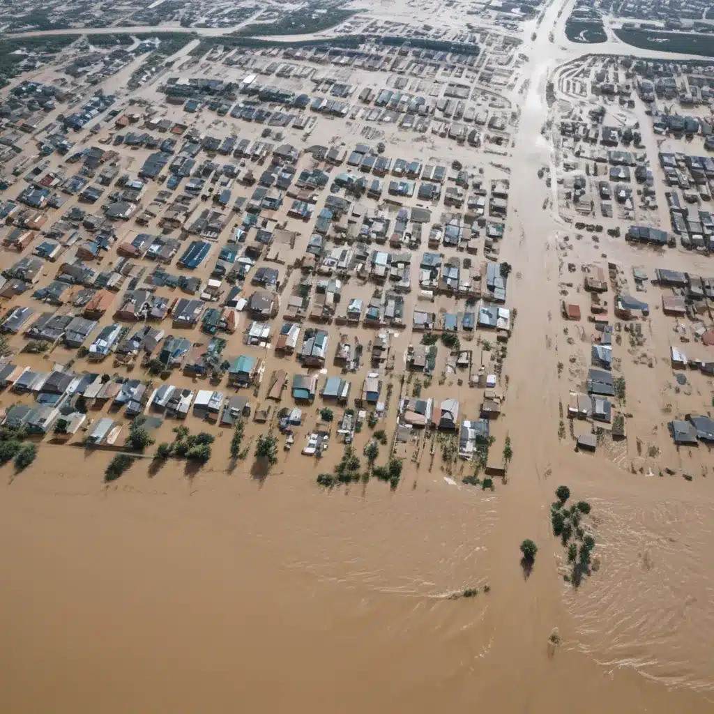
As a flood control specialist, I’ve seen how the devastating impacts of flooding can disrupt communities, destroy infrastructure, and jeopardize lives. In an era of climate change and extreme weather, the need for innovative flood management solutions has never been more pressing. Fortunately, advancements in artificial intelligence (AI) and remote sensing technologies are revolutionizing the way we approach flood modelling and disaster preparedness.
Harnessing the Power of AI for Flood Forecasting
Traditional flood forecasting methods, relying on physical models and historical data, have limitations in accurately predicting the complex and dynamic nature of flooding. AI, on the other hand, offers a game-changing approach that can significantly improve the accuracy and timeliness of flood predictions.
By analyzing vast amounts of real-time geospatial data, such as satellite imagery, weather patterns, and sensor measurements, AI-driven models can identify patterns and relationships that would be nearly impossible for humans to detect. These advanced algorithms can then use this information to forecast the likelihood, severity, and impact of floods with unprecedented precision.
One of the key advantages of AI-powered flood forecasting is its ability to continuously learn and improve. As new data becomes available, the models can refine their algorithms, leading to increasingly accurate predictions over time. This self-learning capability is particularly crucial in regions where physical infrastructure for flood monitoring is limited, as AI can fill the gaps and provide reliable early warnings even in data-sparse areas.
Leveraging Remote Sensing for Comprehensive Flood Mapping
Accurate flood mapping is essential for effective disaster preparedness and response. Traditional methods, such as ground-based gauges and manual surveys, often provide only a fragmented view of affected areas, missing critical information about submerged infrastructure and terrain.
Remote sensing technologies, including satellite imagery, unmanned aerial vehicles (UAVs), and advanced radar systems, are revolutionizing flood mapping capabilities. By combining data from these diverse sources, flood control specialists can create comprehensive, high-resolution maps that capture both surface and subsurface features.
For example, synthetic aperture radar (SAR) sensors can penetrate through cloud cover and vegetation, providing detailed information about the extent and depth of floodwaters. When coupled with AI-powered image analysis, these remote sensing datasets can be automatically processed to identify flooded areas, assess damage, and monitor the effectiveness of flood mitigation measures.
One notable success story comes from India, where AI-powered flood early warning systems have been deployed to manage the devastating monsoon floods that often affect the region. By leveraging satellite data and machine learning algorithms, these systems can provide timely and accurate flood forecasts, enabling proactive measures to reduce loss of life and property.
Integrating AI and Remote Sensing for Holistic Flood Management
The true power of AI and remote sensing lies in their synergistic integration within a comprehensive flood management framework. By combining these technologies, flood control specialists can develop a multifaceted approach that encompasses every stage of the disaster management cycle, from risk assessment to emergency response and recovery.
Flood Risk Assessment
AI can revolutionize flood risk assessment by enhancing hydrological modelling, vulnerability analysis, and probabilistic flood forecasting. By ingesting and processing vast datasets from satellite imagery, sensor networks, and historical records, AI models can generate highly detailed flood risk maps that account for factors like terrain, land use, and climate change projections.
Flood Mitigation Strategies
With the insights gained from AI-powered risk assessment, flood control specialists can optimize the design and implementation of both structural and non-structural mitigation measures. This includes the strategic placement of levees, dams, and floodwalls, as well as the adoption of flood-resilient urban planning and land use regulations.
Emergency Response and Recovery
In the aftermath of a flood event, AI and remote sensing technologies can play a crucial role in rapid damage assessment and emergency response coordination. Automated damage detection algorithms can analyze satellite and UAV imagery to identify affected areas, while real-time sensor data can provide situational awareness to first responders. This information can inform the deployment of resources, the coordination of evacuation efforts, and the planning of post-disaster recovery strategies.
Overcoming Challenges and Unlocking the Full Potential
Despite the immense potential of AI and remote sensing in flood modelling, there are still challenges that might want to be addressed to unlock their full benefits. One key hurdle is the need for high-quality, diverse training data to develop robust and accurate AI models. Collaborations between research institutions, government agencies, and private sector partners can help to bridge this data gap and drive continuous model improvement.
Another challenge lies in the integration and harmonization of the various data sources, from satellite imagery to sensor networks. Developing standardized data formats, secure data-sharing protocols, and interoperable systems will be crucial to ensuring seamless information exchange and decision-making support.
As we continue to navigate the increasing frequency and intensity of flood events, the integration of AI and remote sensing technologies within a comprehensive flood management strategy offers a promising path forward. By leveraging these innovative tools, we can enhance our ability to predict, mitigate, and respond to flooding, ultimately building more resilient and safer communities.
To learn more about the latest advancements in flood control and water management, I encourage you to visit Flood Control 2015, a leading resource for industry professionals and policymakers. Together, we can work towards a future where the devastating impacts of floods are significantly reduced, and communities are better equipped to withstand and recover from these natural disasters.
Tip: Implement real-time monitoring to swiftly respond to flood risks


