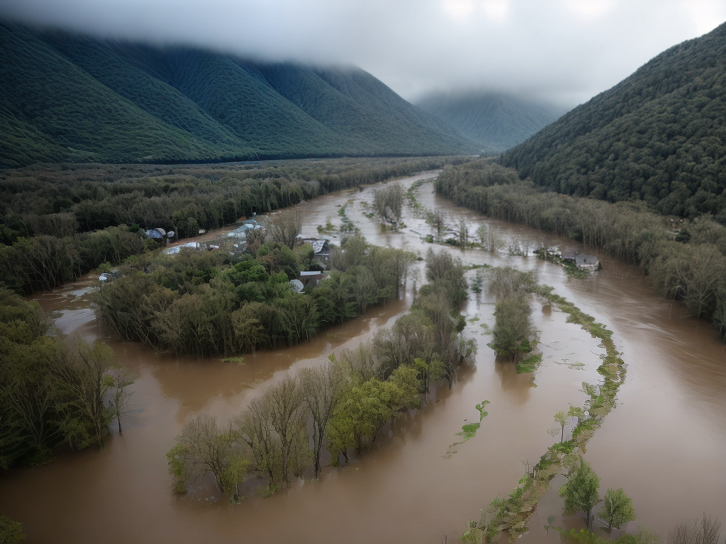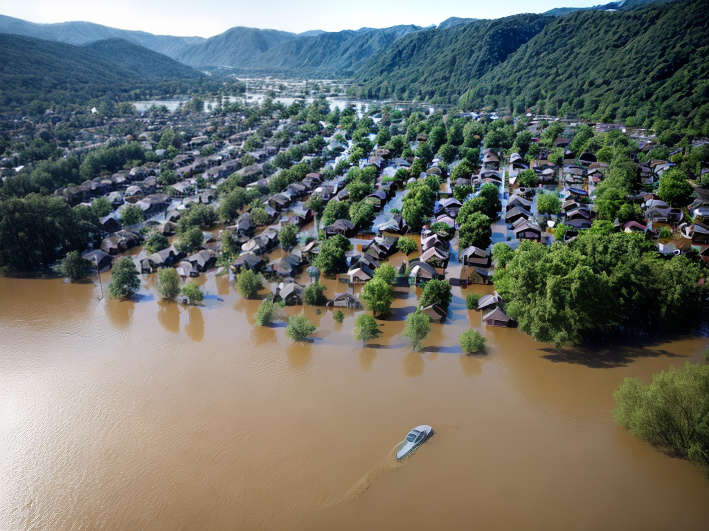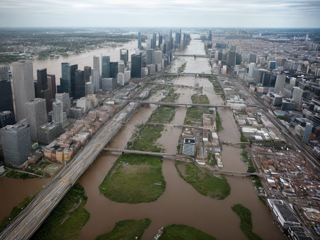
Oh, flood-related policies and regulations, what an exhilarating topic to explore! We, as professionals in the field, are constantly amazed by the wealth of knowledge and best practices that exist globally. From early warning systems to floodplain zoning, integrated water management strategies to community engagement and education, there is so much to learn and discuss. And that’s just the beginning! So, if you’re curious about how investment in flood-resistant infrastructure, building codes and standards, insurance and financial mechanisms, and land-use planning and development controls play a crucial role in mitigating the impacts of floods, then buckle up and join us on this enlightening journey. Trust us, you won’t want to miss out on the insights and solutions that await.
Key Takeaways
- Early warning systems and floodplain zoning are essential for managing flood risk and protecting communities.
- Sustainable drainage systems and green infrastructure can enhance the effectiveness and resilience of early warning systems.
- Communication technologies like mobile apps and social media platforms can improve the dissemination of flood warnings.
- Joint early warning systems and sharing best practices across borders can minimize the loss of life and property and enhance preparedness and response capabilities.
Early Warning Systems
We rely on early warning systems to alert us to potential floods and give us time to prepare and evacuate if necessary. These systems play a crucial role in ensuring the safety of communities and minimizing the impact of flooding. However, traditional early warning systems often lack the innovation needed to address the challenges posed by climate change and urbanization. That is why we must embrace sustainable drainage systems as a key component of modern early warning systems.
Sustainable drainage systems, also known as green infrastructure, are innovative solutions designed to manage and control stormwater runoff. They mimic natural processes to capture, store, and infiltrate rainfall, reducing the risk of flooding. By incorporating sustainable drainage systems into early warning systems, we can enhance their effectiveness and resilience.
One example of an innovative early warning system that incorporates sustainable drainage systems is the use of smart sensors. These sensors can detect changes in water levels, rainfall intensity, and soil moisture, providing real-time data to monitor and predict flood events. This information can then be integrated into early warning systems, enabling authorities to issue timely alerts and take proactive measures to mitigate flood risks.
Additionally, sustainable drainage systems can be integrated with communication technologies to enhance the dissemination of flood warnings. For instance, mobile applications and social media platforms can be used to reach a wider audience and provide real-time updates on flood conditions. This innovative approach not only improves the accessibility of early warning systems but also empowers individuals to make informed decisions and take necessary actions to protect themselves and their communities.
Floodplain Zoning
When it comes to floodplain zoning, there are several key points to consider. First, risk assessment and mapping play a crucial role in identifying areas that are prone to flooding. Second, building restrictions and guidelines help ensure that structures are designed and constructed to withstand potential flood events. Lastly, public education and awareness campaigns help inform residents about the risks associated with living in flood-prone areas and the necessary precautions to take.
Risk Assessment and Mapping
Floodplain zoning plays a crucial role in assessing and mapping the risks associated with flood-related activities. By implementing effective floodplain zoning, we can better manage flood risk and protect communities from potential devastation. Here are three key reasons why floodplain zoning is essential in flood risk management and flood forecasting:
- Identification of high-risk areas: Through risk assessment and mapping, floodplain zoning helps identify areas that are prone to flooding. This allows us to prioritize resources and implement targeted mitigation measures in these vulnerable areas.
- Guiding land-use planning: Floodplain zoning provides guidelines for land-use planning, ensuring that development activities are carried out in a way that minimizes flood risk. This helps prevent the construction of critical infrastructure and residences in areas with high flood susceptibility.
- Enhancing preparedness and response: Mapping flood risks enables better preparedness and response strategies. By knowing the flood-prone areas, emergency response teams can allocate resources strategically and evacuate the at-risk population more effectively.
Incorporating floodplain zoning in flood risk management and flood forecasting practices is crucial for building resilient communities and reducing the impact of floods.
Building Restrictions and Guidelines
After identifying high-risk areas and guiding land-use planning, implementing building restrictions and guidelines becomes crucial in floodplain zoning. These measures are essential to minimize the impact of flooding on infrastructure and communities. By incorporating innovative building design and flood forecasting techniques, we can create resilient structures that can withstand and adapt to the challenges posed by floods.
To illustrate the importance of building restrictions and guidelines, let’s examine a 2 column and 3 row table:
| Building Restrictions | Benefits |
|---|---|
| Setback requirements | Minimize flood damage to structures |
| Elevation requirements | Ensure buildings are above flood levels |
| Floodproofing techniques | Enhance building resilience |
Implementing these guidelines not only protects lives and property, but also promotes sustainable development in flood-prone areas. By integrating cutting-edge technologies and forward-thinking approaches, we can create flood-resilient communities that thrive despite the challenges posed by flooding.
Public Education and Awareness
To ensure the safety and preparedness of communities in flood-prone areas, it is essential to prioritize public education and awareness regarding floodplain zoning. By implementing effective public campaigns and community outreach initiatives, we can empower individuals with the knowledge and tools needed to make informed decisions and protect themselves from the devastating effects of flooding.
To achieve this goal, we propose the following strategies:
- Develop comprehensive educational materials that explain the importance of floodplain zoning and its impact on community resilience.
- Utilize various communication channels, such as social media platforms and public forums, to reach a wide audience and facilitate dialogue.
- Collaborate with local schools and universities to incorporate floodplain zoning into the curriculum, fostering a culture of preparedness from an early age.
Through these efforts, we can inspire innovation in flood-related policies and regulations, creating more resilient communities that are better equipped to face the challenges of the future.
Integrated Water Management Strategies
We have implemented effective integrated water management strategies to mitigate the impact of floods. By integrating various approaches and technologies, we have been able to manage our water resources more efficiently and effectively. These strategies focus on both flood risk management and the sustainable use of integrated water resources.
One of the key components of our integrated water management strategies is the use of advanced flood forecasting and warning systems. These systems utilize real-time data on rainfall, river levels, and other relevant parameters to provide accurate and timely flood forecasts. This enables us to take proactive measures such as evacuation and flood control operations in anticipation of potential flooding events.
Another important aspect of our strategies is the implementation of floodplain zoning and land use planning. By identifying areas prone to flooding and restricting certain types of development in these areas, we can reduce the potential damage caused by floods. Additionally, we promote the use of green infrastructure and nature-based solutions, such as wetlands and floodplain restoration, which can help absorb excess water and reduce flood risk.
Furthermore, we have invested in the construction and maintenance of effective flood protection infrastructure, including levees, flood walls, and stormwater management systems. These structures help divert and control floodwaters, minimizing the impact on surrounding areas.
To better illustrate the effectiveness of our integrated water management strategies, we have provided a table below that highlights some of the key initiatives and their corresponding outcomes:
| Initiative | Outcome |
|---|---|
| Advanced flood forecasting and warning systems | Timely evacuation and reduced flood damage |
| Floodplain zoning and land use planning | Minimized flood risk and damage to infrastructure |
| Green infrastructure and nature-based solutions | Improved water absorption and reduced flood risk |
| Flood protection infrastructure | Controlled floodwaters and protected areas |
Through these integrated water management strategies, we are continuously striving to innovate and improve our flood risk management practices. By adopting a holistic approach that combines various techniques and technologies, we can better protect our communities and minimize the impact of flooding events.
Community Engagement and Education
As we continue our efforts to manage flood risks and enhance water resource sustainability, engaging and educating the community is a crucial aspect of our approach. Community engagement allows us to collaborate with individuals, organizations, and stakeholders to develop innovative solutions and foster a sense of ownership and responsibility for flood-related issues. By involving the community in the decision-making process, we can tap into their local knowledge and experiences, leading to more effective and sustainable flood management strategies.
Education plays a vital role in empowering the community to understand the causes and impacts of floods, as well as the available mitigation measures. By providing accessible and comprehensive information, we can help individuals make informed decisions and take proactive measures to protect themselves and their properties from flooding. Education can take various forms, such as workshops, public awareness campaigns, and online resources, tailored to the specific needs and preferences of the community.
Incorporating community engagement and education into flood-related policies and regulations can yield several benefits:
- Increased awareness and understanding: By engaging the community and providing education on flood risks and mitigation strategies, we can enhance their understanding of the issue, leading to more informed decision-making.
- Enhanced resilience: Through community engagement, we can promote the adoption of resilient practices, such as building flood-resistant infrastructure and implementing early warning systems, which can minimize the impacts of flooding.
- Social cohesion and collaboration: Engaging the community fosters collaboration and strengthens social ties, enabling collective action and the development of innovative solutions to address flood-related challenges.
Investment in Flood-Resistant Infrastructure
Investing in flood-resistant infrastructure is essential for mitigating the impacts of floods and ensuring the long-term resilience of communities. In an era where climate change is causing an increase in the frequency and intensity of extreme weather events, it is crucial to adopt innovative approaches to infrastructure development.
Resilient construction is at the forefront of flood-resistant infrastructure investment. It involves the use of advanced building materials and techniques that can withstand the forces of flooding. For example, constructing buildings on elevated platforms or using flood-resistant materials can prevent water from entering and causing damage. Additionally, incorporating green infrastructure, such as rain gardens and permeable pavements, can help absorb and manage excess water during heavy rainfall.
Investing in flood-resistant infrastructure not only protects communities from the immediate impacts of floods but also ensures their long-term resilience. By incorporating sustainable and adaptive design principles, infrastructure can be built to withstand future climate risks. This proactive approach reduces the need for costly repairs and reconstruction after each flooding event.
Furthermore, flood-resistant infrastructure investment can have multiple benefits beyond flood mitigation. It can enhance the overall quality of life in communities by improving public spaces, promoting green transportation options, and creating economic opportunities. By embracing innovative solutions, such as smart infrastructure and green technologies, communities can become more sustainable, efficient, and adaptable to changing environmental conditions.
Climate Change Adaptation Measures
As we consider climate change adaptation measures in relation to flood-related policies and regulations, two key points come to mind: resilient infrastructure planning and early warning systems. Resilient infrastructure planning involves designing and constructing infrastructure that can withstand the impacts of climate change and mitigate flood risks. Additionally, early warning systems play a crucial role in ensuring timely alerts and evacuation measures during flood events, helping to save lives and minimize damages.
Resilient Infrastructure Planning
Resilient infrastructure planning is crucial for adapting to the impacts of climate change. As we strive for innovative solutions, it is essential to focus on resilient infrastructure design and flood-resistant construction. Here are three key considerations for resilient infrastructure planning:
- Integration of green infrastructure: Incorporating nature-based solutions, such as green roofs and permeable pavements, can enhance resilience by reducing flood risk and improving stormwater management.
- Adaptive design principles: Implementing flexible design principles that account for changing climate conditions will ensure that infrastructure can withstand future challenges.
- Community engagement: Engaging local communities in the planning process fosters innovation and empowers residents to contribute to resilient infrastructure solutions that address their specific needs.
Early Warning Systems
To effectively adapt to the impacts of climate change, implementing early warning systems is crucial for minimizing the risks and ensuring timely response to extreme weather events. Early warning technology plays a vital role in providing communities with the necessary information to prepare and respond effectively to flood events. By leveraging innovative technologies such as advanced weather forecasting models, remote sensing, and real-time data collection, early warning systems can provide accurate and timely alerts to at-risk communities. This enables residents to take proactive measures, such as evacuating or fortifying their homes, to mitigate the potential damage caused by floods. Community preparedness is also essential in ensuring the success of early warning systems. By educating and empowering individuals, neighborhoods can work together to develop and implement effective response plans, fostering a culture of resilience and innovation.
| Early Warning Systems Benefits | Emotional Response |
|---|---|
| Timely alerts | Safety |
| Proactive measures | Peace of mind |
| Community preparedness | Empowerment |
Cross-Border Collaboration
Collaboration between neighboring countries plays a crucial role in effectively managing flood-related challenges. Cross-border cooperation and international collaboration are key in developing innovative solutions to mitigate the impact of floods. Here are three best practices in cross-border collaboration:
- Establishing Joint Early Warning Systems: Neighboring countries can work together to establish joint early warning systems that span across borders. This allows for the timely exchange of information and coordination of response efforts. Through shared data and real-time communication, countries can enhance their ability to predict and respond to flood events, minimizing the loss of life and property.
- Sharing Best Practices and Lessons Learned: Cross-border collaboration creates opportunities for countries to share their best practices and lessons learned from previous flood events. This exchange of knowledge helps in identifying effective strategies and innovative approaches to flood management. By learning from each other’s experiences, countries can enhance their preparedness and response capabilities, ultimately leading to more resilient communities.
- Coordinating Infrastructure Development: Effective cross-border collaboration involves coordinating infrastructure development initiatives. This includes harmonizing flood control and drainage systems, as well as coordinating the construction of dams and reservoirs. By jointly planning and implementing infrastructure projects, neighboring countries can ensure that their flood management efforts are aligned, maximizing their collective impact.
Risk Assessment and Mapping
Effective risk assessment and mapping are essential components of flood management strategies. In order to develop innovative flood forecasting and flood risk management techniques, it is crucial to have accurate and up-to-date information about the potential risks and vulnerabilities associated with flooding. By conducting thorough risk assessments and creating detailed flood maps, decision-makers can make informed choices and implement targeted measures to mitigate the impact of floods.
Flood risk assessment involves analyzing a range of factors including topography, precipitation patterns, hydrological data, and historical flood events. Through advanced technological tools and innovative modeling techniques, we can now generate highly accurate flood risk maps that highlight areas prone to flooding. These maps provide valuable insights into the potential extent and severity of flooding, allowing policymakers and emergency responders to allocate resources effectively and plan evacuation routes.
Accurate flood forecasting is another crucial aspect of risk assessment and mapping. By utilizing real-time data from weather monitoring stations, river gauges, and satellite imagery, we can predict the likelihood and timing of floods with greater precision. This enables early warning systems to be activated, giving communities more time to prepare and take necessary precautions.
Furthermore, risk assessment and mapping also play a crucial role in designing and implementing flood risk management strategies. By identifying areas at high risk, policymakers can prioritize investments in infrastructure, such as flood barriers and drainage systems, in order to reduce vulnerability and enhance resilience.
Emergency Preparedness and Response Plans
Developing comprehensive emergency preparedness and response plans is crucial in effectively managing and mitigating the impact of floods. These plans serve as a roadmap for emergency response teams and provide a structured approach to dealing with the various challenges that arise during a flood event. By incorporating innovative strategies and technologies into our preparedness planning, we can ensure a more efficient and effective response to flooding emergencies.
- Utilization of real-time data: Incorporating real-time data into our emergency response plans allows us to have up-to-date information on the current flood situation. This data can include rainfall measurements, river water levels, and flood forecasts. By utilizing this information, emergency responders can make informed decisions and allocate resources effectively.
- Integration of technology: Advancements in technology have revolutionized emergency response and preparedness planning. By utilizing drones, remote sensing, and geographic information systems (GIS), emergency response teams can gather crucial information quickly and accurately. This allows for enhanced situational awareness and more targeted response efforts.
- Collaboration and coordination: Effective emergency response requires collaboration and coordination between various stakeholders, including government agencies, non-profit organizations, and the private sector. By establishing strong partnerships and fostering a culture of collaboration, we can ensure a more integrated and efficient response to flooding emergencies.
Sustainable Drainage Systems
Let’s start talking about the points related to sustainable drainage systems. Firstly, we need to consider the design and implementation of these systems, which involve careful planning and engineering to ensure their effectiveness. Secondly, it’s important to highlight the benefits and challenges that come with sustainable drainage systems, such as reducing flood risk, improving water quality, and managing urban runoff. Lastly, we can explore case studies and examples that demonstrate successful implementation of sustainable drainage systems in different regions, providing practical insights for policymakers and urban planners.
Design and Implementation
When designing and implementing sustainable drainage systems, it is important to consider the long-term effectiveness and environmental impact. We must ensure that these systems are not only able to effectively manage stormwater, but also promote sustainability and resilience. Here are some key considerations:
- Integration of green infrastructure: By incorporating natural elements such as rain gardens, bioswales, and permeable pavements, we can mimic natural hydrological processes and reduce the burden on conventional drainage systems.
- Multi-functional design: Sustainable drainage systems should not only manage stormwater, but also provide additional benefits such as improved air quality, enhanced biodiversity, and recreational spaces for communities.
- Adaptive management: As climate change continues to impact rainfall patterns, it is important to design drainage systems that can adapt and respond to changing conditions, ensuring long-term effectiveness.
Benefits and Challenges
Implementing sustainable drainage systems presents both benefits and challenges. These systems, also known as SuDS, offer numerous advantages in mitigating flood risks and promoting environmental sustainability. By managing surface water runoff through natural processes, SuDS can reduce the pressure on conventional drainage infrastructure and prevent local flooding. This not only protects properties and infrastructure but also enhances water quality and promotes biodiversity. Additionally, SuDS contribute to creating more attractive and sustainable urban environments, supporting the well-being of communities. However, implementing SuDS can be challenging. One major obstacle is the lack of awareness and understanding among stakeholders, including policymakers, developers, and the general public. Furthermore, the cost of installing and maintaining SuDS can be a barrier for some, which may require innovative financing mechanisms or incentives such as insurance coverage. Overall, the benefits of sustainable drainage systems outweigh the challenges, and with the right support and collaboration, they can provide effective solutions for managing flood risks in a sustainable and innovative manner.
Case Studies and Examples
We can explore various case studies and examples to understand the effectiveness of sustainable drainage systems (SuDS). By analyzing real-world scenarios, we can gain valuable insights into how SuDS can mitigate flood risks and promote sustainable urban development. Here are some compelling examples:
- The SuDS project in Portland, Oregon, utilizes green roofs, permeable pavements, and rain gardens to manage stormwater runoff effectively. This approach not only reduces flood risks but also enhances water quality and improves urban aesthetics.
- In Tokyo, Japan, the Metropolitan Area Outer Underground Discharge Channel, also known as the “G-Cans Project,” combines underground tunnels and reservoirs to control flooding during heavy rainfall. This innovative system has proven highly effective in protecting the city from severe floods.
- The Rainwater Harvesting Scheme in Singapore collects and stores rainwater for various uses, including irrigation and flushing toilets. By reducing reliance on freshwater sources, this initiative helps manage flood risks and conserve water resources.
These case studies highlight the diverse ways in which SuDS can be implemented, showcasing their potential to revolutionize flood management practices worldwide.
Ecosystem-Based Approaches
To effectively address flood-related challenges, it is crucial to adopt ecosystem-based approaches. Ecosystem-based management is an innovative approach that recognizes the importance of natural systems in mitigating and controlling floods. By working with nature instead of against it, we can create more sustainable and effective solutions.
One key aspect of ecosystem-based approaches is natural flood control. This involves using and restoring natural features such as wetlands, floodplains, and forests to reduce the impact of flooding. These natural systems have the ability to absorb and store water, slowing down its flow and reducing the risk of flooding downstream. They also provide habitats for diverse species of plants and animals, enhancing biodiversity and ecosystem resilience.
By implementing ecosystem-based management strategies, we can not only reduce the risk of flooding but also improve water quality, enhance recreational opportunities, and support local economies. For example, wetlands can act as natural filters, removing pollutants and sediment from the water. Additionally, they can provide recreational spaces for activities such as bird watching, fishing, and hiking, which can attract tourists and boost local economies.
Incorporating ecosystem-based approaches into flood-related policies and regulations requires a shift in mindset and a collaborative effort between different stakeholders. It involves considering the long-term benefits of working with nature and recognizing the value of ecosystem services. By investing in the protection and restoration of natural systems, we can create more resilient communities and reduce the impacts of flooding on both people and the environment.
Building Codes and Standards
One aspect that deserves attention when considering flood-related challenges is the establishment and enforcement of building codes and standards. These codes and standards play a crucial role in ensuring the resilience and safety of structures in flood-prone areas.
To address the evolving needs of flood-resistant construction, innovative approaches are being implemented worldwide. Here are three key areas where building codes and standards are being enhanced:
- Adoption of resilient building materials: Traditional building materials may not withstand the destructive forces of floods. Therefore, it is essential to promote the use of innovative materials that are resistant to water damage, such as reinforced concrete, fiber cement, and composite wood. These materials offer increased durability and reduce the risk of structural failure during flooding events.
- Integration of advanced construction techniques: The advancement of construction techniques is crucial to enhance the flood resilience of buildings. Innovations such as raised foundations, flood barriers, and flood-resistant building envelopes are being incorporated into building codes and standards. These techniques ensure that structures are better equipped to withstand the impacts of flooding, minimizing damage and protecting the safety of occupants.
- Consideration of climate change projections: Building codes and standards must also account for future climate change projections. This involves incorporating provisions that address increased precipitation, rising sea levels, and extreme weather events. By integrating climate resilience into building regulations, structures can be designed to withstand not only current flood risks but also future challenges posed by climate change.
Insurance and Financial Mechanisms
When it comes to addressing the financial implications of flood-related risks, there are several important points to consider. First, risk assessment and mitigation strategies play a crucial role in determining the level of insurance coverage needed. Second, ensuring the affordability of flood insurance is vital to protect vulnerable communities. Lastly, public-private partnerships can be effective in providing financial mechanisms that promote resilience and support recovery efforts.
Risk Assessment and Mitigation
Our approach to risk assessment and mitigation for flood-related policies and regulations involves utilizing insurance and financial mechanisms to effectively manage potential losses and protect our communities. By incorporating innovative strategies, we can minimize the socio-economic impacts of floods and ensure the resilience of our cities. Here are some key measures we implement:
- Development of flood risk maps: By mapping flood-prone areas and analyzing the vulnerability of different regions, we can identify high-risk zones and allocate resources accordingly.
- Integration of insurance schemes: We work towards implementing comprehensive insurance schemes that cover both public and private properties, providing financial protection to individuals and businesses affected by floods.
- Promotion of resilient infrastructure: We prioritize the construction of resilient infrastructure that can withstand flood events and minimize damage, including flood-proof buildings and drainage systems.
Through these measures, we aim to enhance our flood management strategies and create a safer and more sustainable future for all.
Coverage and Affordability
To address the issue of coverage and affordability in flood-related policies and regulations, we focus on implementing insurance and financial mechanisms that ensure the accessibility and affordability of protection for individuals and businesses affected by floods. One of the key challenges in providing adequate coverage is the presence of coverage limitations that may exclude certain types of damages or impose caps on the amount that can be claimed. To overcome this, we are utilizing innovative approaches such as parametric insurance, which pays out based on predefined triggers like water levels or rainfall intensity. By using these triggers, we can ensure faster and more efficient claim settlements, reducing the financial burden on policyholders. Additionally, we are working towards establishing fair and affordable premium rates by leveraging technological advancements in risk assessment and modeling. This enables us to accurately determine the flood risk faced by a property or business, ensuring that premium rates are commensurate with the level of risk.
Public-Private Partnerships
We have implemented public-private partnerships as insurance and financial mechanisms to address the challenges of coverage and affordability in flood-related policies and regulations. These partnerships have proven to be effective in pooling resources and expertise from both the public and private sectors, resulting in innovative funding mechanisms that promote resilience and sustainability.
- Risk-sharing models: Through public-private collaboration, we have developed risk-sharing models that distribute the financial burden of flood-related damages between the government and private insurers. This helps reduce the costs of insurance premiums for individuals and businesses, making coverage more affordable and accessible.
- Parametric insurance: By leveraging advanced technologies and data analytics, we have introduced parametric insurance products that provide quick and transparent payouts based on predetermined triggers. This eliminates the need for lengthy claims processes and ensures timely assistance to affected individuals and communities.
- Incentive-based approaches: We have also implemented incentive-based approaches, such as premium discounts or tax incentives, to encourage property owners to adopt flood-resistant measures. This not only reduces the risk of flood damages but also promotes long-term resilience and sustainability in flood-prone areas.
Land-Use Planning and Development Controls
Land-use planning and development controls play a crucial role in mitigating flood risks and ensuring the safety and resilience of communities. Effective land use regulations and urban planning can help prevent the construction of buildings in flood-prone areas and guide development in a way that minimizes the impact of flooding events. By implementing innovative strategies, we can create more sustainable and resilient communities that are better equipped to handle future flood events.
One innovative approach to land-use planning is the incorporation of green infrastructure. This involves the use of natural features, such as wetlands and green spaces, to manage stormwater and reduce flood risks. By preserving these natural areas and integrating them into urban landscapes, we can enhance their ability to absorb and retain water during heavy rainfall, reducing the likelihood of flooding.
Another important aspect of land-use planning is the establishment of setback requirements. These regulations require buildings to be set back a certain distance from rivers, lakes, or other bodies of water. By maintaining a buffer zone between development and water bodies, we can minimize the potential damage caused by flooding and protect both property and human life.
Additionally, land-use planning can promote the use of flood-resistant building materials and techniques. By incentivizing the construction of flood-resistant structures, we can reduce the vulnerability of communities to flood events. This could include the use of elevated foundations, flood-resistant windows and doors, and the incorporation of floodwater drainage systems into building design.
Monitoring and Evaluation Frameworks
Implementing effective monitoring and evaluation frameworks is essential in ensuring the success and efficacy of flood-related policies and regulations. These frameworks provide a systematic approach to assess the implementation and impact of these policies, allowing for adjustments and improvements to be made promptly. When it comes to monitoring frameworks, several innovative practices have emerged:
- Real-time data collection and analysis: By leveraging advanced technologies such as remote sensing, drones, and IoT devices, monitoring frameworks can provide up-to-date information on flood events, including water levels, rainfall patterns, and floodplain dynamics. This enables policymakers to make informed decisions and take proactive measures to mitigate the impacts of flooding.
- Community engagement and citizen science: Involving local communities in monitoring efforts can enhance the accuracy and effectiveness of data collection. Citizen science initiatives empower individuals to contribute to data collection, analysis, and reporting, fostering a sense of ownership and resilience within communities.
- Integration of social and environmental indicators: Monitoring frameworks that go beyond traditional hydrological measurements can provide a more comprehensive understanding of flood-related issues. By incorporating social and environmental indicators, such as vulnerability assessments, economic impacts, and ecosystem services, policymakers can develop holistic strategies that address the multifaceted nature of flooding.
Evaluation frameworks are equally important in assessing the outcomes and effectiveness of flood-related policies. These frameworks help policymakers answer key questions, such as:
- What are the intended and unintended consequences of the policies and regulations?
- Are the desired outcomes being achieved? If not, why?
- How can the policies be improved to better address the needs and challenges of flood-prone areas?

