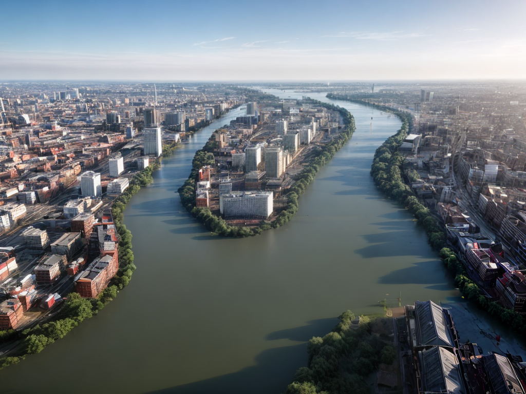
Welcome to our comprehensive guide on subterranean flood risk mapping techniques. In this article, we will explore the various methods and technologies used to assess and map flood risks beneath the surface. Understanding these techniques is crucial for effectively managing and mitigating the potential hazards associated with subterranean flooding. So, let’s dive in!
The Need for Subterranean Flood Risk Mapping
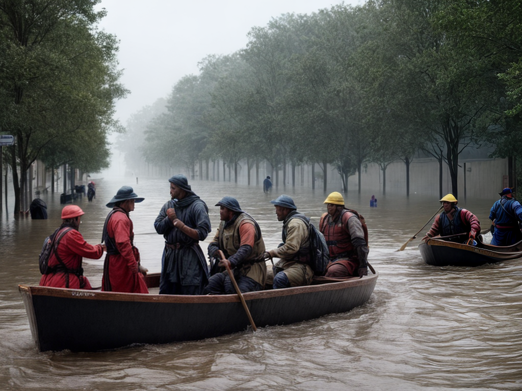
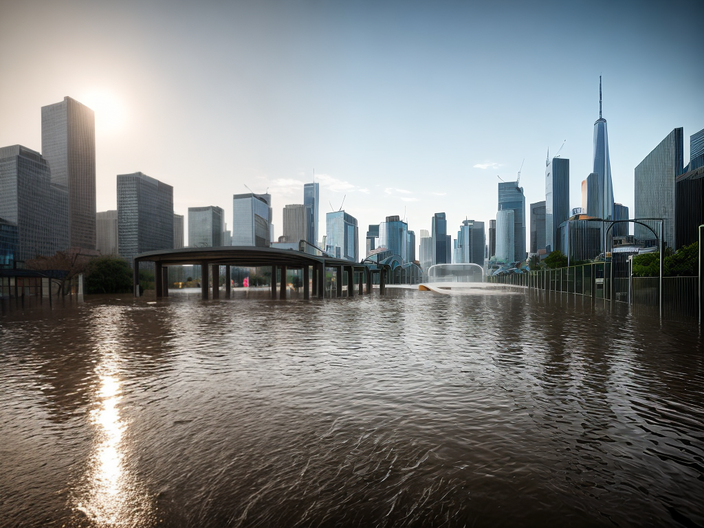
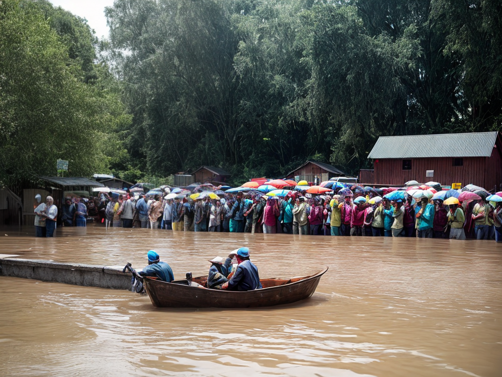
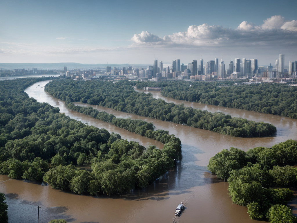
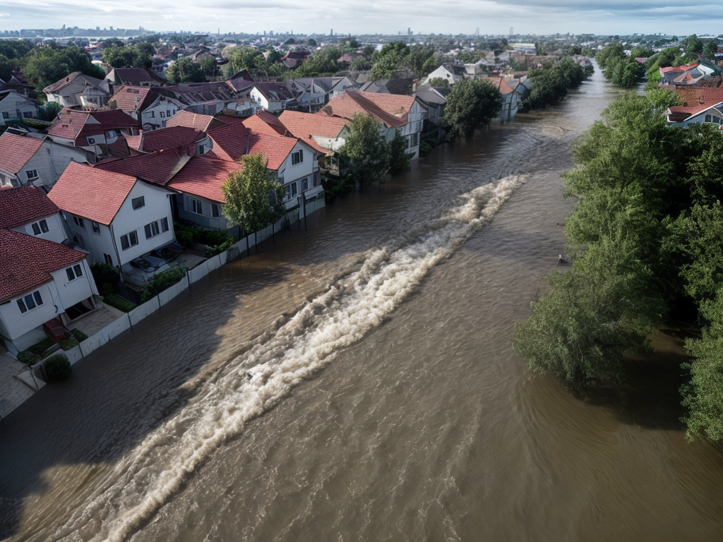
Flooding is a natural disaster that affects millions of people worldwide, causing significant damage to infrastructure, property, and even loss of life. While surface-level flood mapping has been extensively studied and implemented, subterranean flood risk mapping is a relatively new field that has gained attention due to the growing awareness of the risks associated with underground water sources.
Subterranean flood risks can arise from various sources, including groundwater, underground rivers, and stormwater drainage systems. These hidden water sources can cause significant damage to underground infrastructure, such as basements, tunnels, and underground utilities. Hence, accurate mapping of subterranean flood risks is essential for urban planning, infrastructure development, and emergency preparedness.
Traditional Flood Risk Assessment Techniques
Before we delve into the advanced techniques, let’s briefly discuss the traditional methods used for flood risk assessment. These techniques have been widely employed for surface-level flood mapping but have limited applicability when it comes to subterranean flood risks.
- Hydrological Models: Hydrological models are commonly used to simulate and predict surface water flow based on rainfall data. However, these models do not account for the complex interactions between surface and subterranean water sources, making them inadequate for subterranean flood risk mapping.
- Flood Hazard Maps: Flood hazard maps are developed using historical flood data and topographical information. While these maps can identify areas prone to surface flooding, they fail to account for the underground water sources and their potential impact on subterranean infrastructure.
Advanced Subterranean Flood Risk Mapping Techniques
To overcome the limitations of traditional techniques, researchers and engineers have developed advanced methods that specifically focus on subterranean flood risk mapping. These techniques leverage cutting-edge technologies and innovative approaches to provide a more comprehensive understanding of the underground flood risks. Let’s explore some of these techniques in detail:
1. Ground Penetrating Radar (GPR)
Ground Penetrating Radar (GPR) is a non-invasive geophysical method that uses radar pulses to create subsurface images. It can accurately detect changes in subsurface materials, including water presence and flow patterns. GPR is particularly useful for mapping underground water channels, identifying potential flood pathways, and assessing the vulnerability of subterranean structures.
2. LiDAR (Light Detection and Ranging)
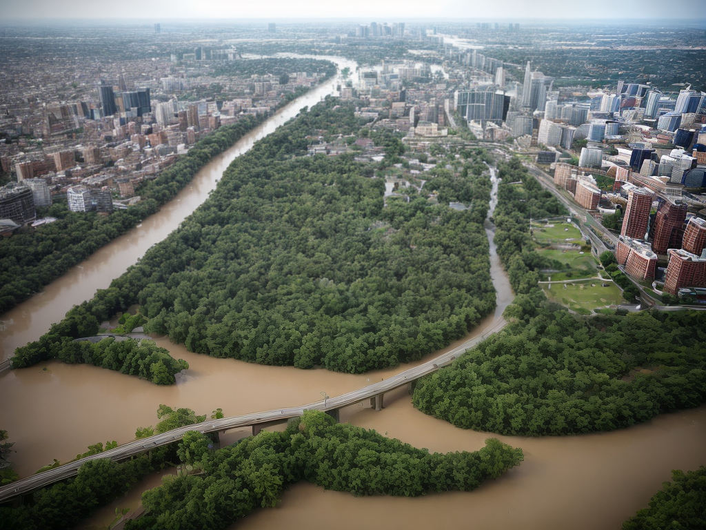
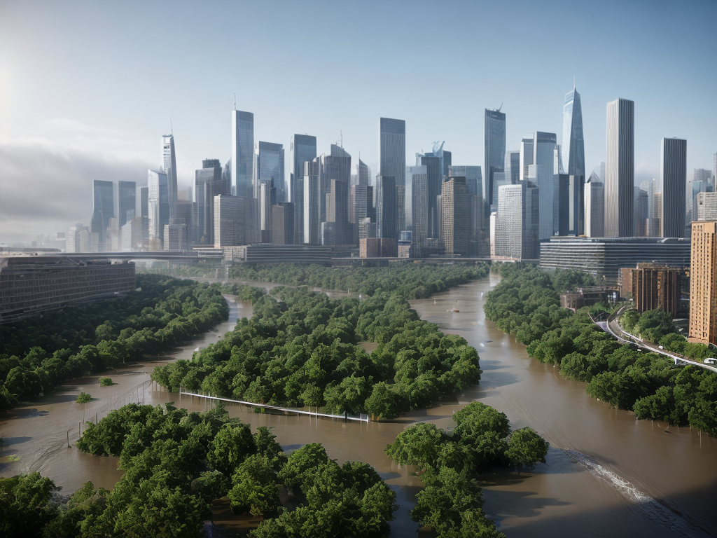
LiDAR is a remote sensing technology that uses laser pulses to measure distances and create high-resolution 3D maps of the Earth’s surface. By combining LiDAR data with hydrological models, researchers can simulate and visualize the interactions between surface and subterranean water sources. This integrated approach enhances the accuracy of flood risk assessments, enabling better decision-making for urban planners and emergency responders.
3. Numerical Modelling and Simulation
Numerical modelling and simulation techniques involve using mathematical algorithms to simulate and predict the behavior of underground water sources during flooding events. These models consider various factors, such as rainfall intensity, soil permeability, and hydraulic conductivity, to accurately predict the extent and severity of subterranean flooding. By incorporating real-time data, such as weather forecasts and water level sensors, these models can provide timely flood warnings and help mitigate potential damages.
4. Data Fusion and Machine Learning
Data fusion and machine learning techniques involve integrating multiple data sources, such as satellite imagery, ground-based sensors, and historical flood data, to build comprehensive flood risk models. By training machine learning algorithms on these datasets, researchers can identify patterns and predict future flood scenarios with higher accuracy. This approach enables proactive planning and effective allocation of resources for flood preparedness and response.
Conclusion
In conclusion, subterranean flood risk mapping is an essential aspect of modern urban planning and infrastructure development. By utilizing advanced techniques such as Ground Penetrating Radar, LiDAR, numerical modelling, and data fusion with machine learning, we can gain valuable insights into the hidden risks associated with underground water sources. These techniques enable us to make informed decisions, mitigate damages, and ultimately build more resilient cities. As technology continues to advance, it is crucial to stay up-to-date with the latest developments in subterranean flood risk mapping to ensure the safety and well-being of communities worldwide.
