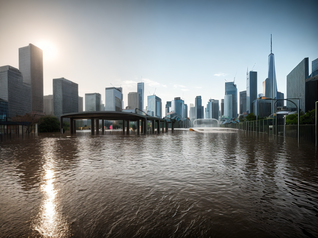
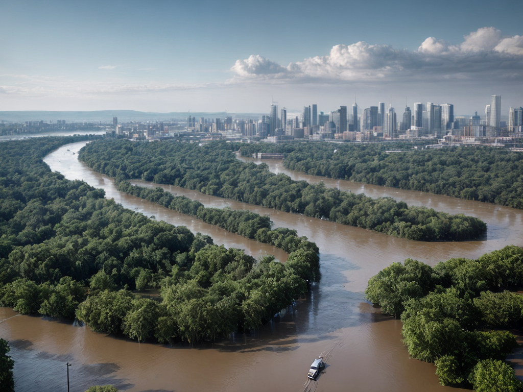
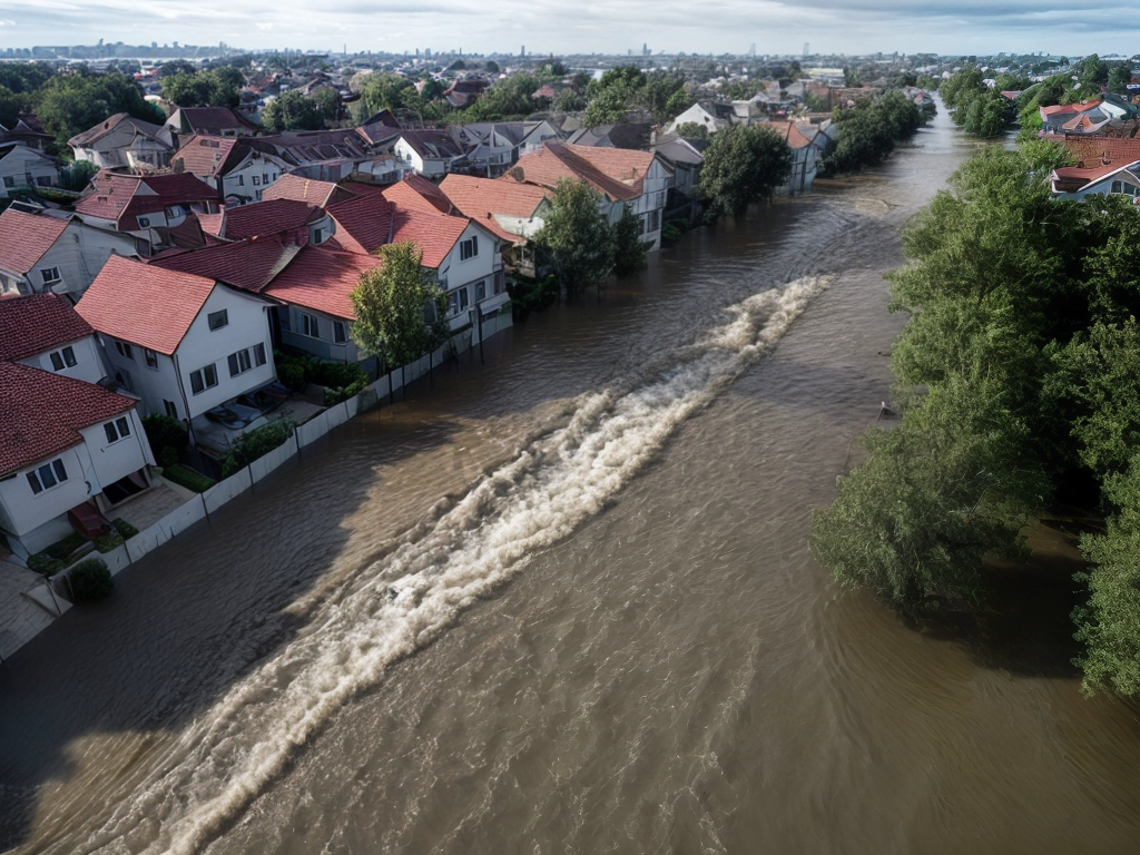
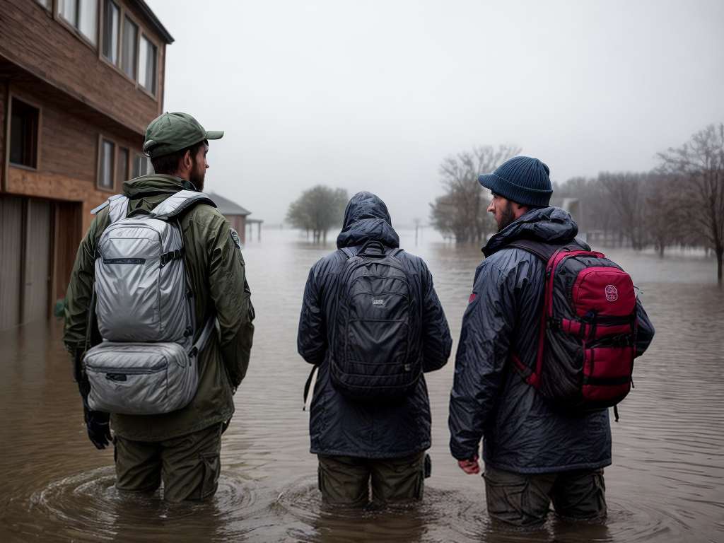
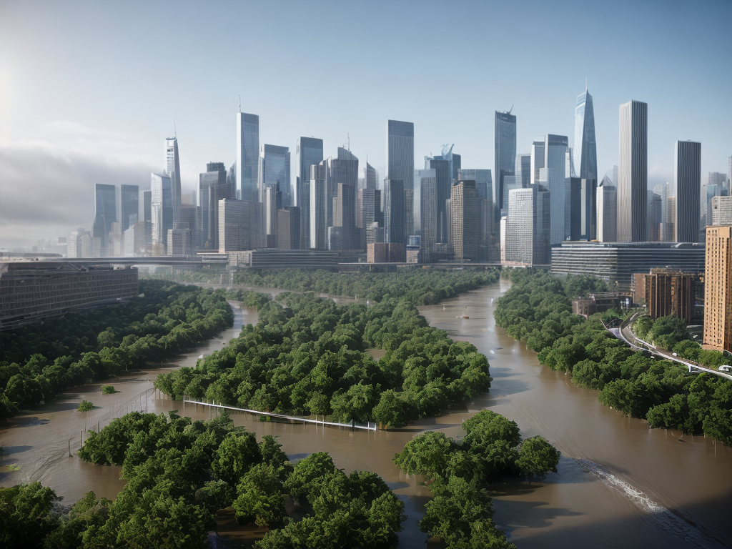
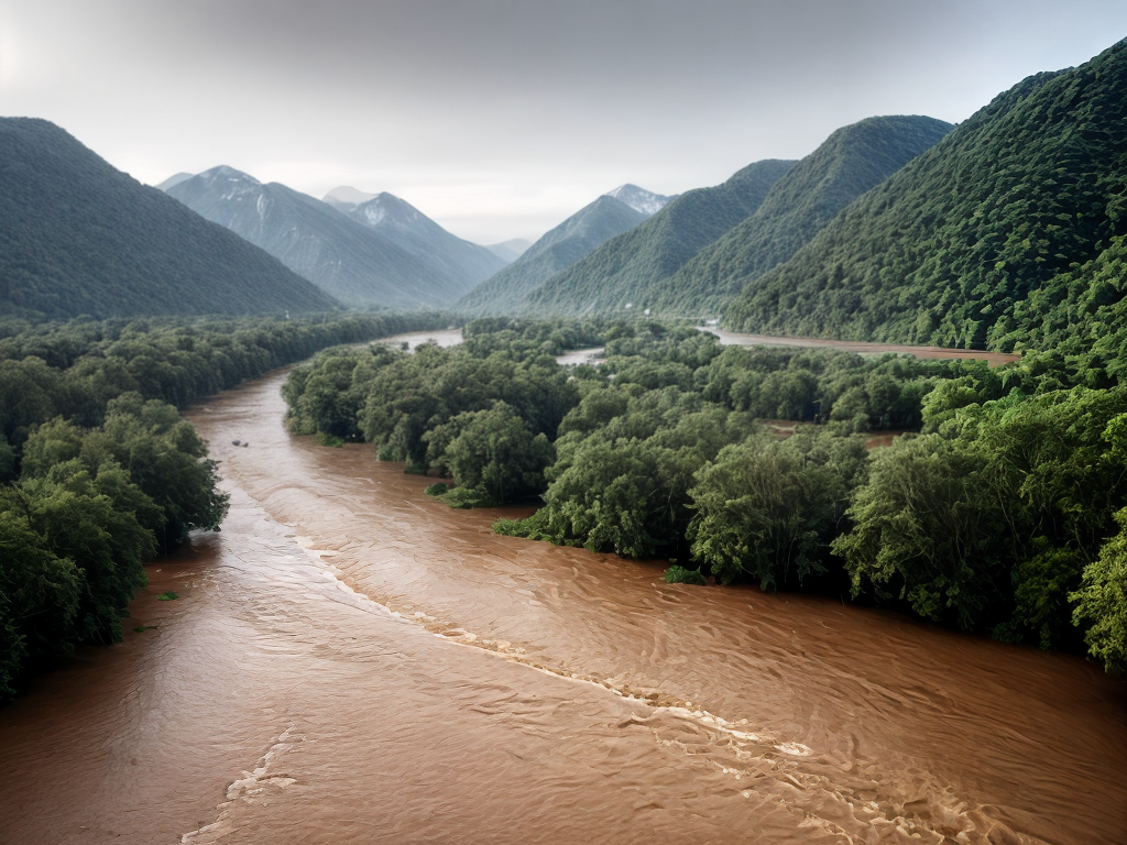
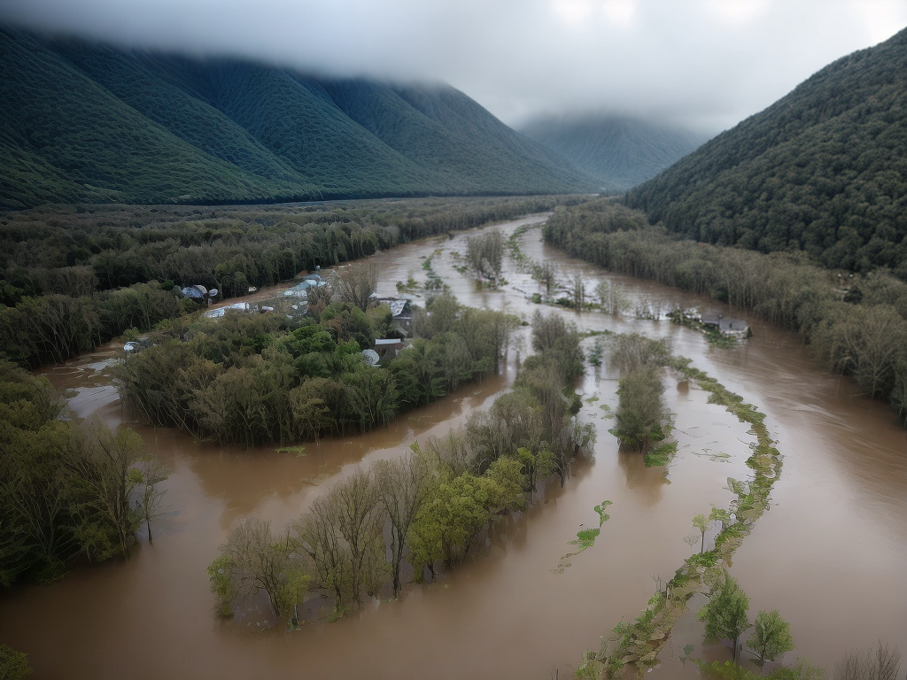
In recent years, virtual reality (VR) has emerged as a groundbreaking technology with the potential to revolutionize various industries. One area where VR holds immense promise is in enhancing flood risk mapping accuracy. By leveraging the power of VR, we can create immersive and realistic simulations that allow us to better understand and predict the impact of floods. In this article, we will delve into the potential of VR in flood risk mapping and discuss how it can help us mitigate the devastating effects of flooding.
Understanding the Limitations of Traditional Flood Risk Mapping
Traditional flood risk mapping methods have long relied on two-dimensional models and static data. While these approaches have provided valuable insights into flood-prone areas, they often fall short in capturing the dynamic nature of floods. This limitation poses a significant challenge when it comes to accurately predicting the extent and severity of flooding events.
The Power of Virtual Reality in Flood Risk Mapping
Virtual reality offers a paradigm shift in flood risk mapping by providing an immersive and interactive experience. By creating three-dimensional virtual environments, VR enables us to simulate flood scenarios in a highly realistic manner. This level of immersion allows researchers and stakeholders to gain a deeper understanding of the potential impact of floods on communities, infrastructure, and the environment.
Enhanced Visualization of Flood Scenarios
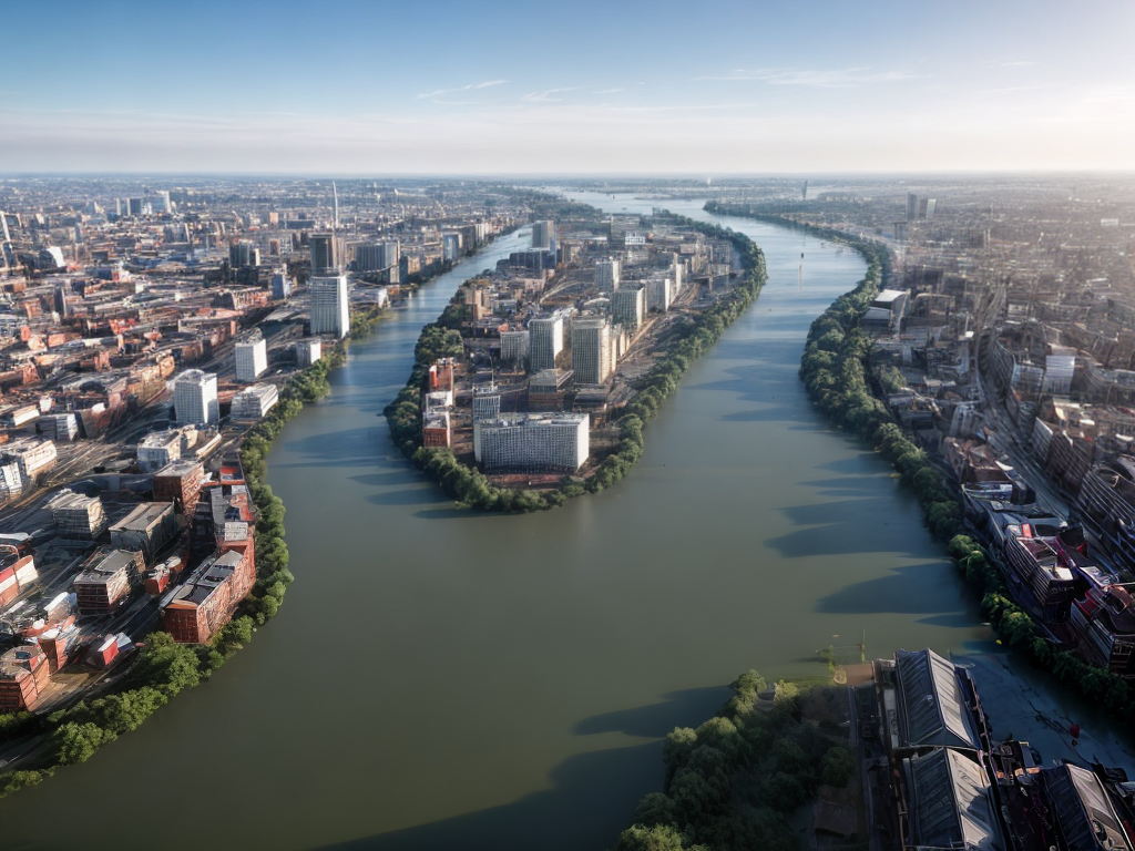
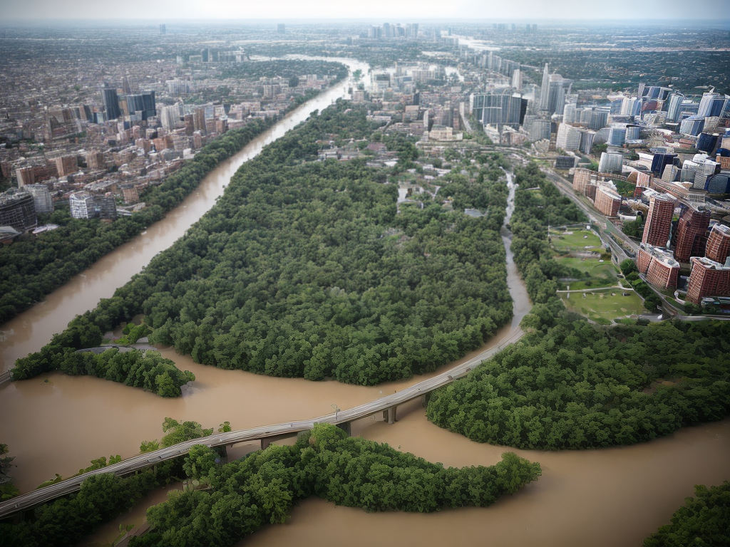
One of the key advantages of VR in flood risk mapping is its ability to enhance visualization. Traditional maps and models often struggle to convey the full scale and complexity of flooding events. With VR, stakeholders can explore virtual environments that accurately represent the topography, hydrology, and infrastructure of an area. This realistic representation enables better-informed decision-making, as stakeholders can visualize the potential consequences of different flood scenarios.
Real-time Simulation and Data Integration
Another major benefit of VR is its capacity to facilitate real-time simulation and data integration. By integrating real-time data from weather sensors, river gauges, and other sources, VR simulations can provide up-to-date information on flood conditions. This dynamic aspect allows stakeholders to assess the evolving nature of floods and make timely decisions to mitigate risks.
Stakeholder Engagement and Collaboration
VR also offers opportunities for enhanced stakeholder engagement and collaboration in flood risk management. By immersing stakeholders in virtual environments, VR simulations can facilitate more meaningful discussions and decision-making processes. This collaborative approach fosters a shared understanding of the challenges posed by flooding and encourages the development of effective strategies to minimize its impact.
Training and Preparedness
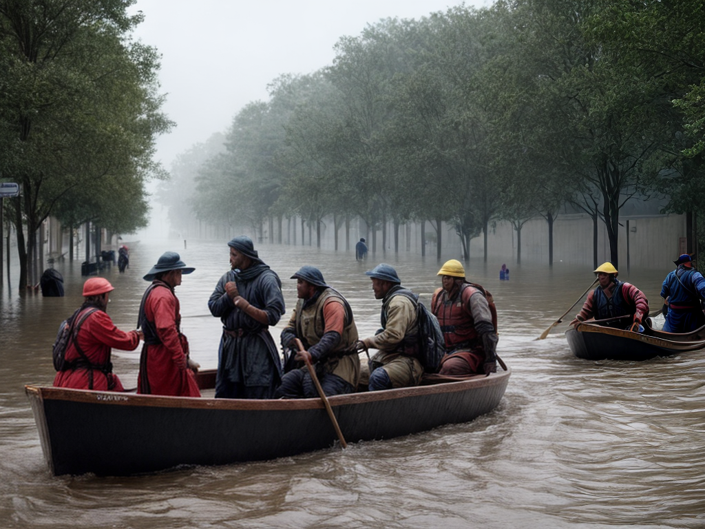
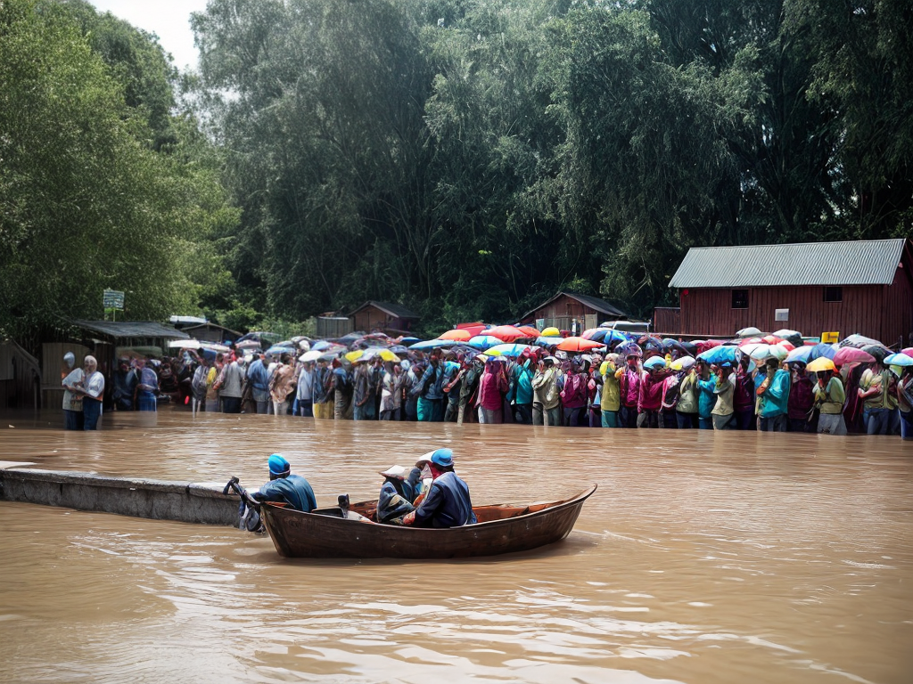
Beyond flood risk mapping, VR can also play a crucial role in training and preparedness efforts. By simulating emergency scenarios, such as evacuations or rescue operations, VR can help emergency responders and community members practice and refine their response strategies. This training in a virtual environment can significantly improve preparedness and ultimately save lives during real-life flood events.
Overcoming Challenges and Embracing the Future
While the potential of VR in flood risk mapping is undeniable, there are still challenges to overcome before widespread adoption can occur. Technological limitations, data accuracy, and accessibility are among the key hurdles that need to be addressed. However, with ongoing advancements in VR technology and increasing availability of high-quality data, the future of VR in flood risk mapping looks promising.
In conclusion, virtual reality holds immense promise in enhancing flood risk mapping accuracy. By creating immersive and realistic simulations, VR enables us to better understand and predict the impact of floods. The enhanced visualization, real-time simulation, stakeholder engagement, and training capabilities of VR offer unprecedented opportunities for effective flood risk management. As we continue to embrace this groundbreaking technology, we pave the way for a future where we can better protect communities, infrastructure, and the environment from the devastating effects of flooding.
