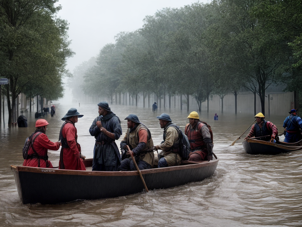
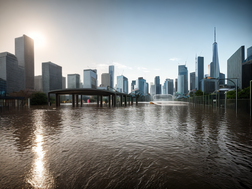
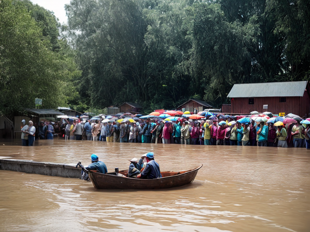
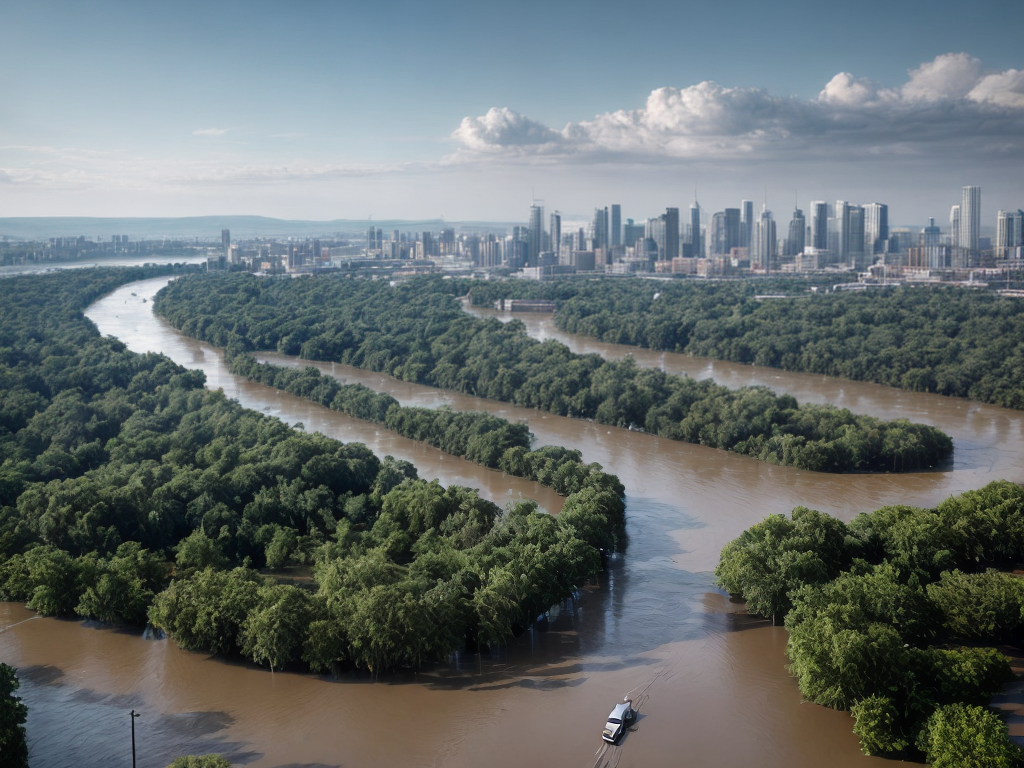
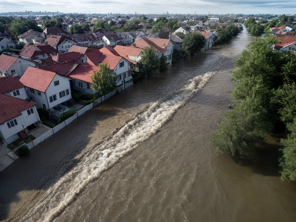
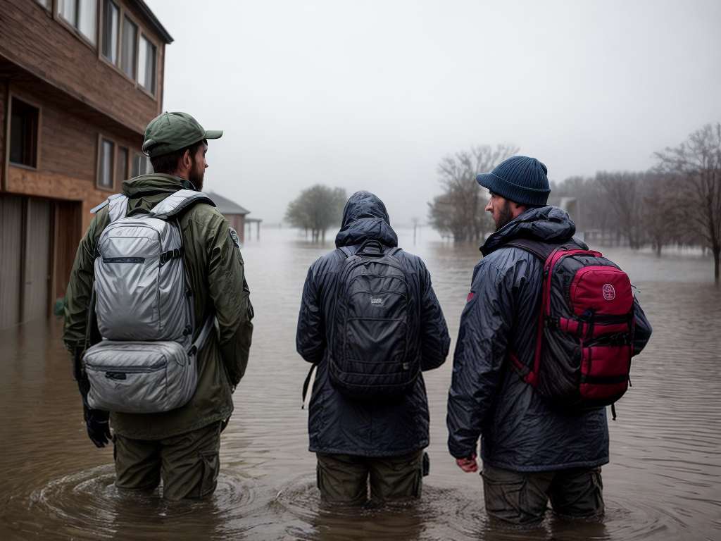
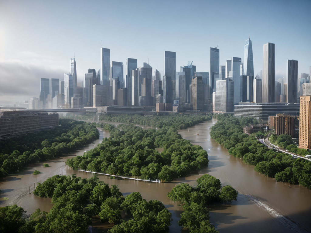
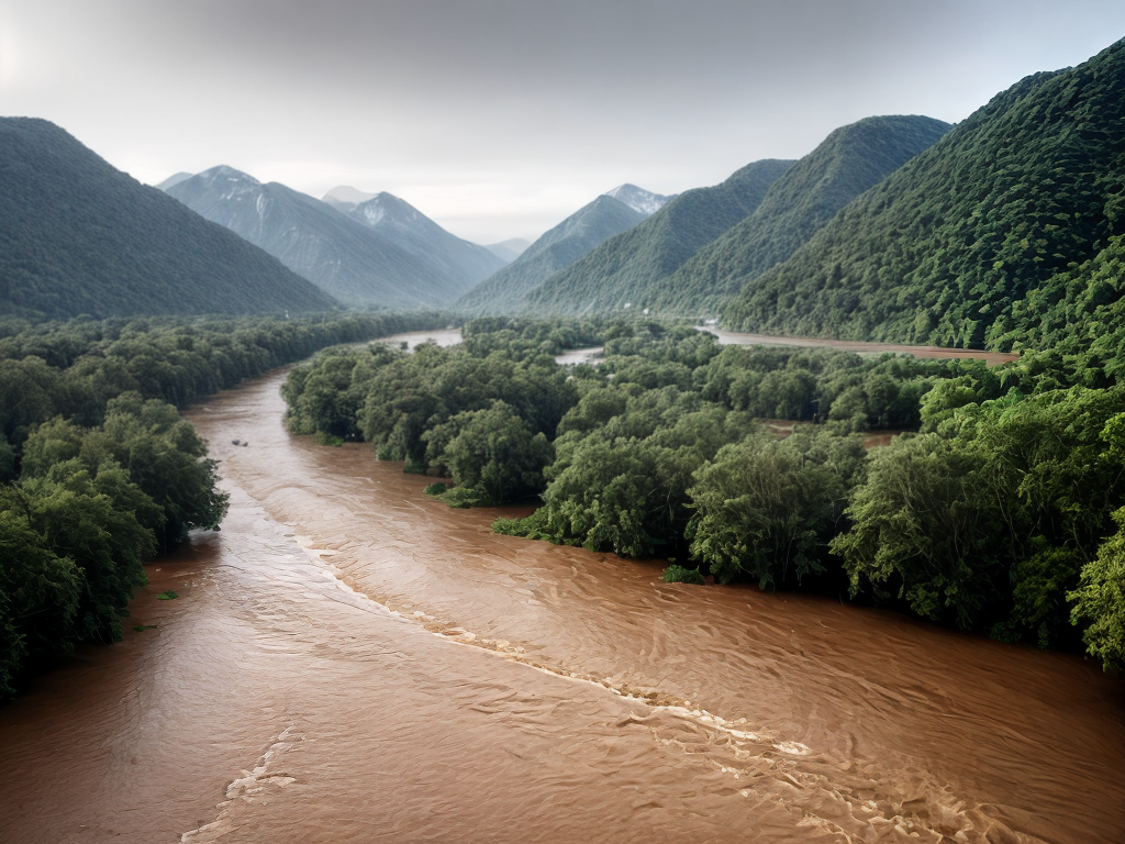
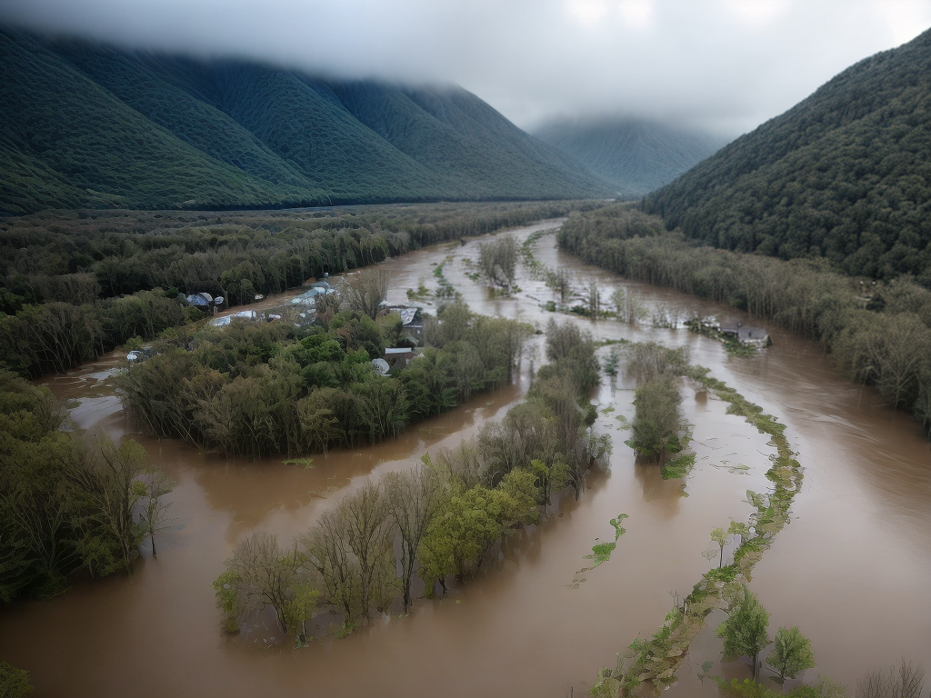
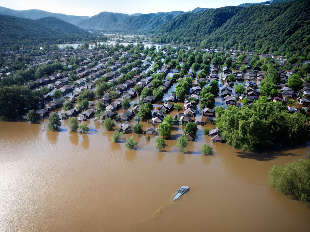
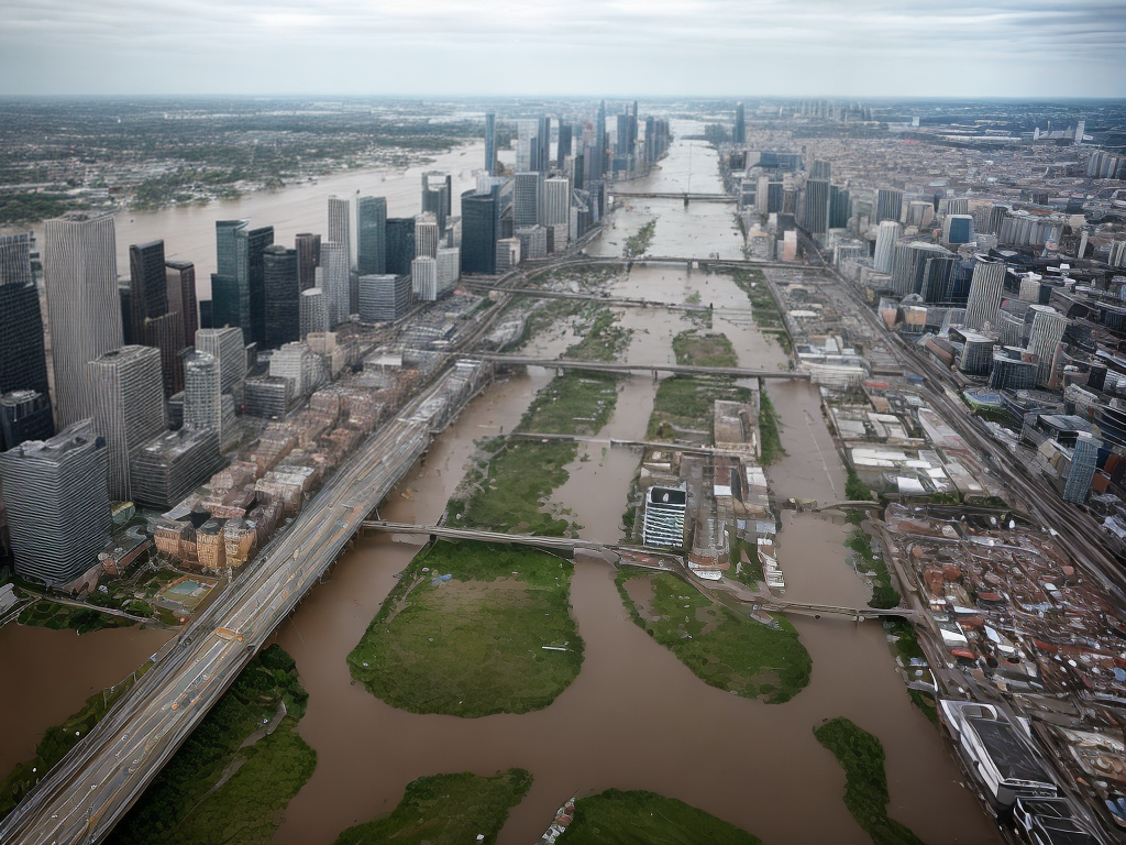
In recent years, the devastating impact of floods has become increasingly apparent. From destroying infrastructure to causing loss of life, floods pose a significant threat to communities worldwide. Traditional flood mapping techniques have provided some level of assistance in understanding flood-prone areas, but they often fall short in accurately predicting and managing these natural disasters. However, with the advent of Artificial Intelligence (AI) and its powerful algorithms, a new era of flood mapping has emerged. In this article, we will explore how AI is revolutionizing flood mapping and uncover the hidden heroes behind this groundbreaking technology.
The Limitations of Traditional Flood Mapping
Historically, flood mapping has relied on manual surveys, historical data, and physical modeling. While these methods have played a crucial role in understanding flood patterns, they suffer from several limitations. Traditional flood mapping techniques are often time-consuming, expensive, and labor-intensive. Additionally, they are heavily reliant on data from past events, which may not accurately represent future flood scenarios. As a result, the accuracy and effectiveness of traditional flood mapping have been called into question, especially in the face of climate change and the increasing severity of floods.
The Rise of AI in Flood Mapping
Artificial Intelligence, powered by machine learning algorithms, has emerged as a game-changer in flood mapping. By analyzing vast amounts of data, AI can identify complex patterns and make accurate predictions about flood-prone areas. AI models can process data from various sources, including satellite imagery, weather patterns, historical flood data, and topographical information. This multidimensional approach allows AI to generate more precise flood risk assessments and mapping.
Machine Learning Algorithms and Flood Prediction
Machine learning algorithms form the backbone of AI-based flood mapping systems. These algorithms learn from historical flood data and other relevant information to make predictions about future flood events. By feeding the AI model with data from past floods, it can identify hidden patterns and correlations that humans might overlook. This enables the system to provide early warnings, accurately predict flood extents, and propose effective mitigation strategies.
Satellite Imagery and Remote Sensing
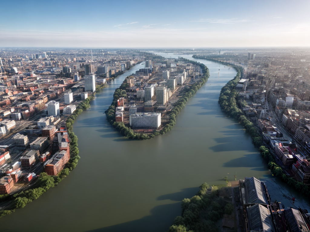
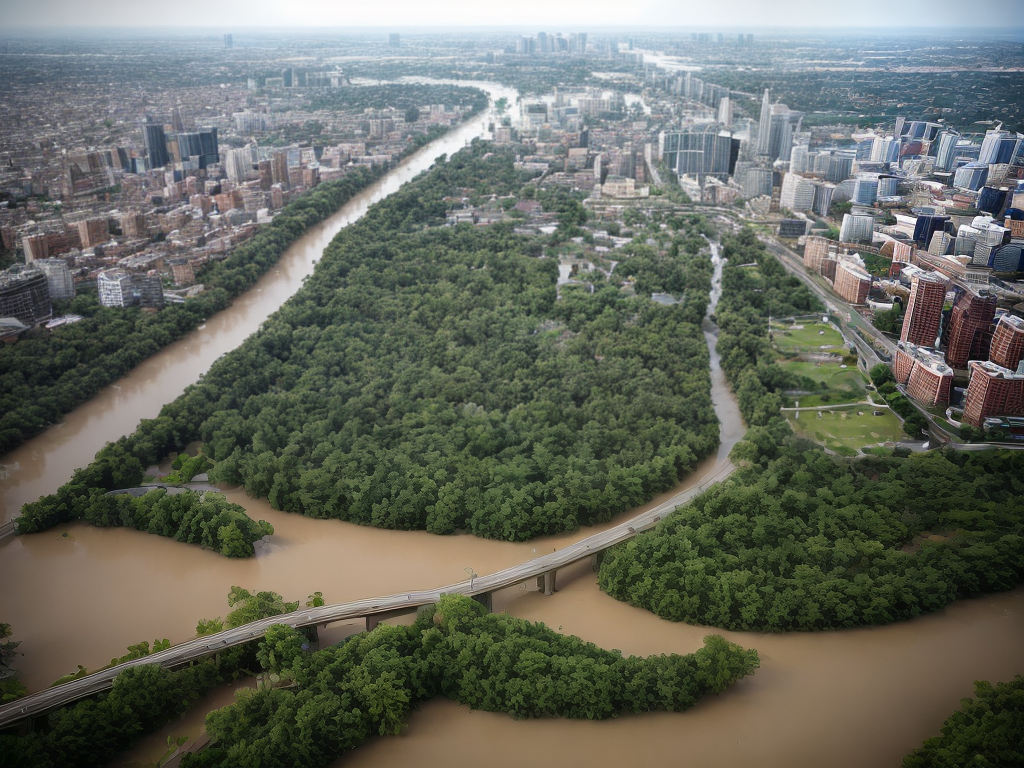
Satellite imagery and remote sensing technologies have significantly contributed to the accuracy and efficiency of AI-based flood mapping. Satellites equipped with high-resolution cameras capture images of flood-prone areas, providing valuable data for analysis. AI algorithms can process this imagery to detect water bodies, monitor water levels, and identify changes in flood patterns over time. By combining satellite imagery with historical flood data, AI models can generate detailed flood maps with remarkable accuracy.
Real-time Data and Early Warning Systems
One of the most significant advantages of AI in flood mapping is its ability to process real-time data. By integrating data from weather stations, river gauges, and other monitoring systems, AI algorithms can continuously update flood maps and provide timely warnings. This real-time information is crucial for emergency response teams, enabling them to take proactive measures and evacuate residents in at-risk areas. AI-based early warning systems have the potential to save lives and minimize the impact of floods on communities.
Community Engagement and Citizen Science
While AI plays a crucial role in flood mapping, it is essential to involve communities in the process. Citizen science initiatives empower residents to contribute valuable data, such as photographs, videos, and observations, to AI-based flood mapping platforms. By combining community input with AI algorithms, flood maps become more comprehensive and accurate. Moreover, involving communities in flood mapping fosters a sense of ownership and resilience, as residents become active participants in disaster management efforts.
Conclusion
In conclusion, Artificial Intelligence has revolutionized flood mapping by providing accurate predictions, real-time monitoring, and early warning systems. Through the power of machine learning algorithms, AI has unlocked hidden patterns and correlations in flood data, enabling more precise mapping and risk assessments. Satellite imagery and remote sensing technologies have further enhanced the accuracy of AI-based flood mapping, while community engagement ensures a collaborative and resilient approach. As we move forward, the integration of AI into flood mapping will continue to evolve, offering new insights and strategies to mitigate the devastating impact of floods. Let us embrace these hidden heroes and harness the power of AI to create safer and more resilient communities.
